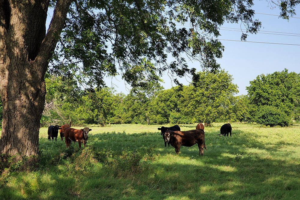
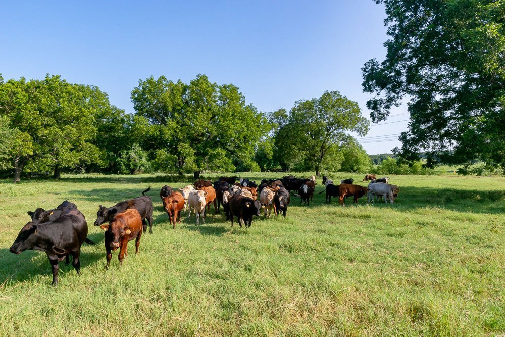
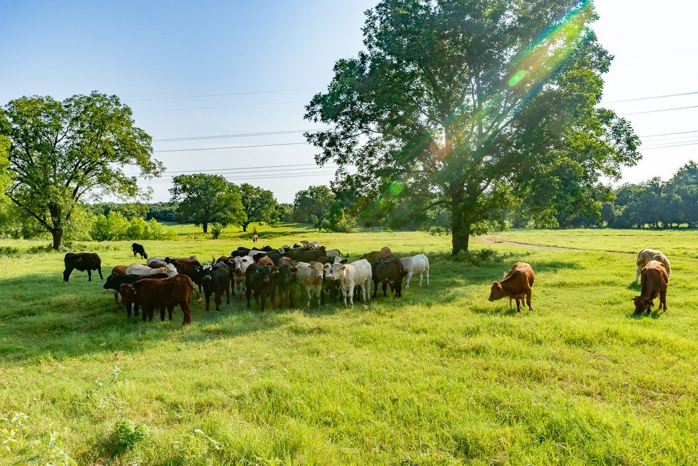
483 Acre Cattle & Hunting Ranch
Poolville, Parker Co., Texas
Recreational & Cattle Ranches | Photo Gallery 1 | Photo Gallery 2 | Local Map | Aerial Map | Soil Survey | Topo Map | FEMA Flood Map | PDF Brochure
LOCATION:
Located minutes east of Poolville with paved frontage on two ends creating access completely through the property. Also, four access points of ingress and egress.
LAND / TERRAIN:
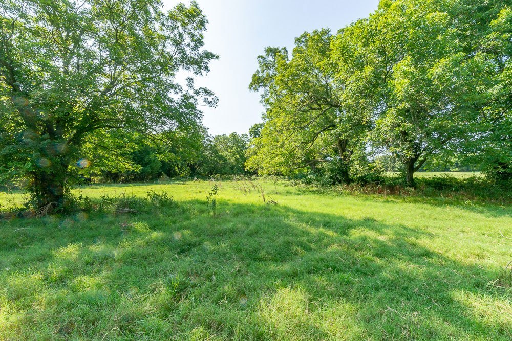
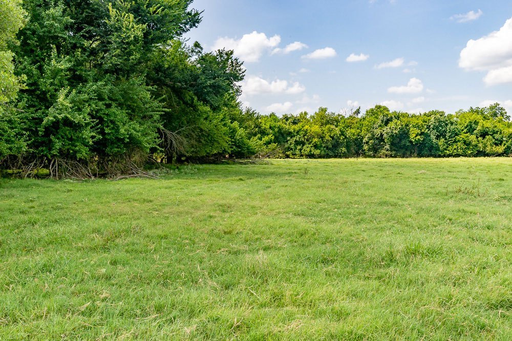
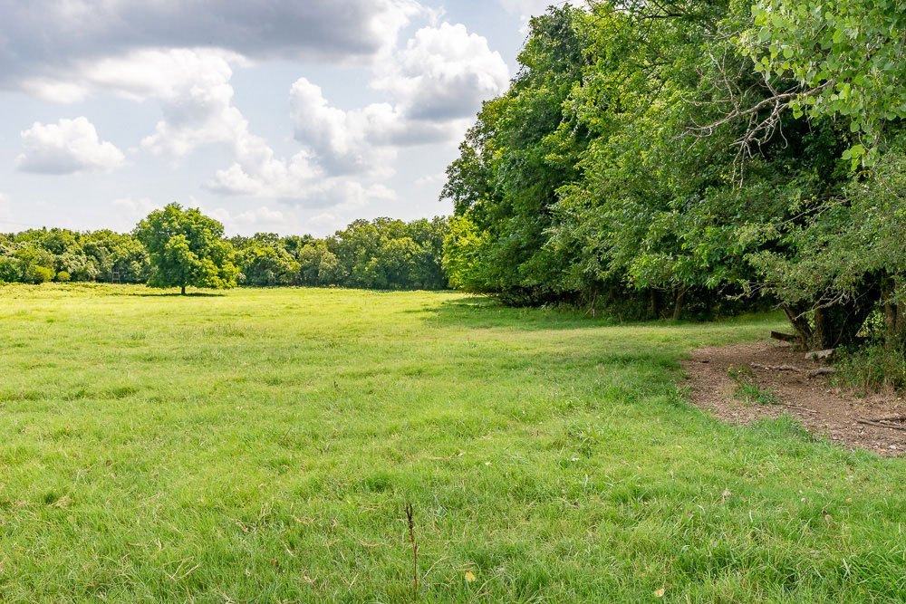
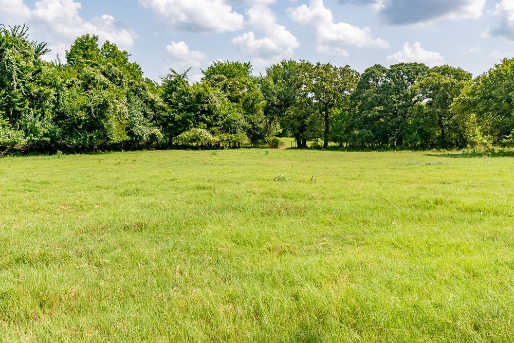
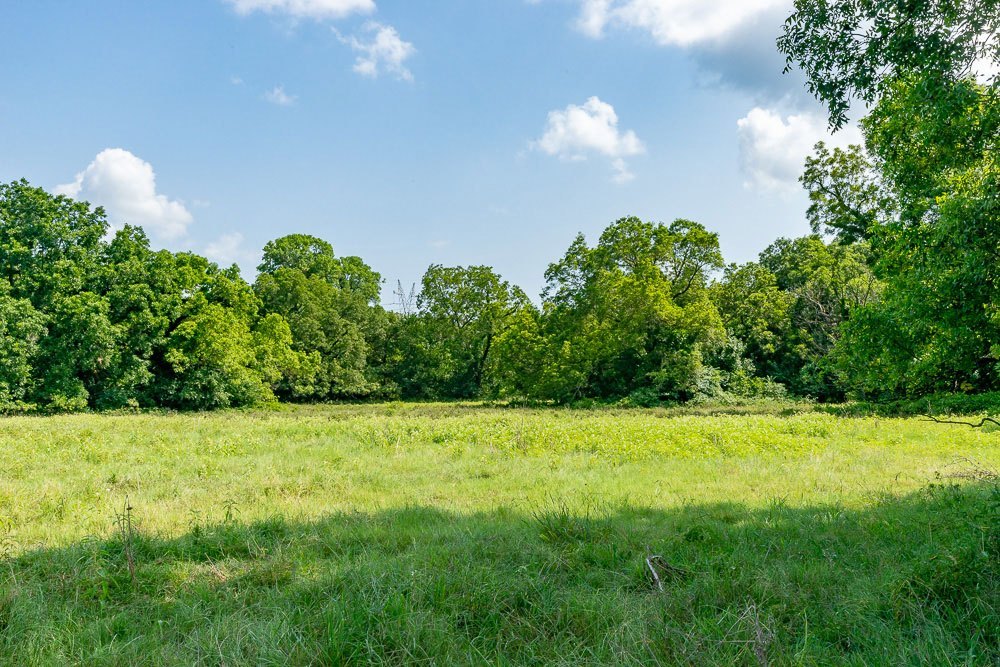
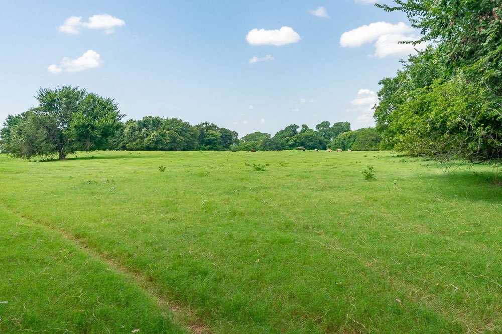
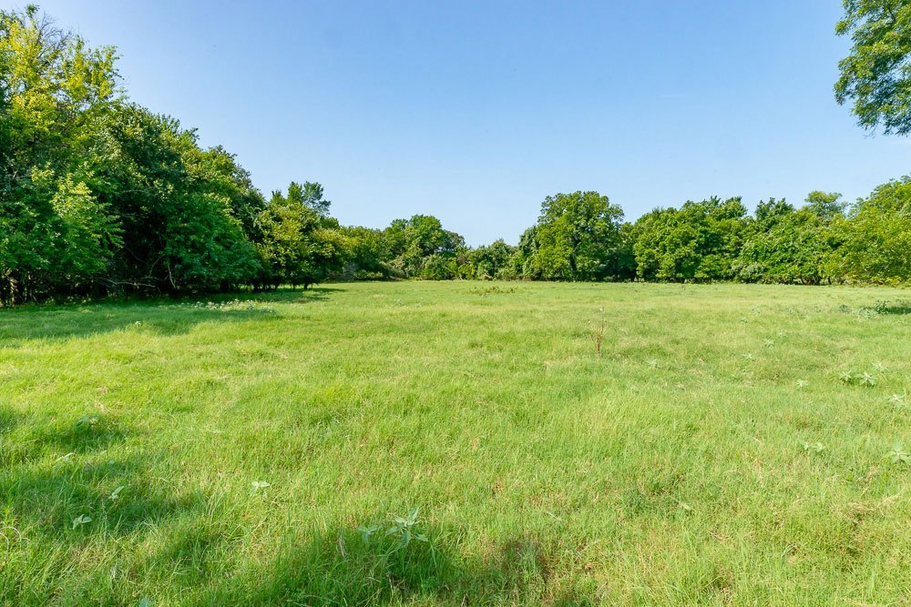
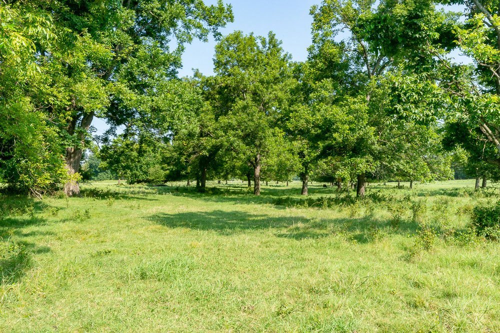
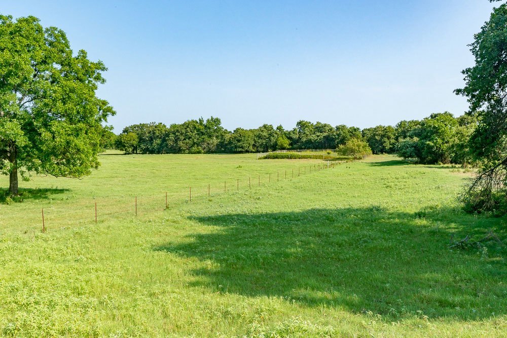
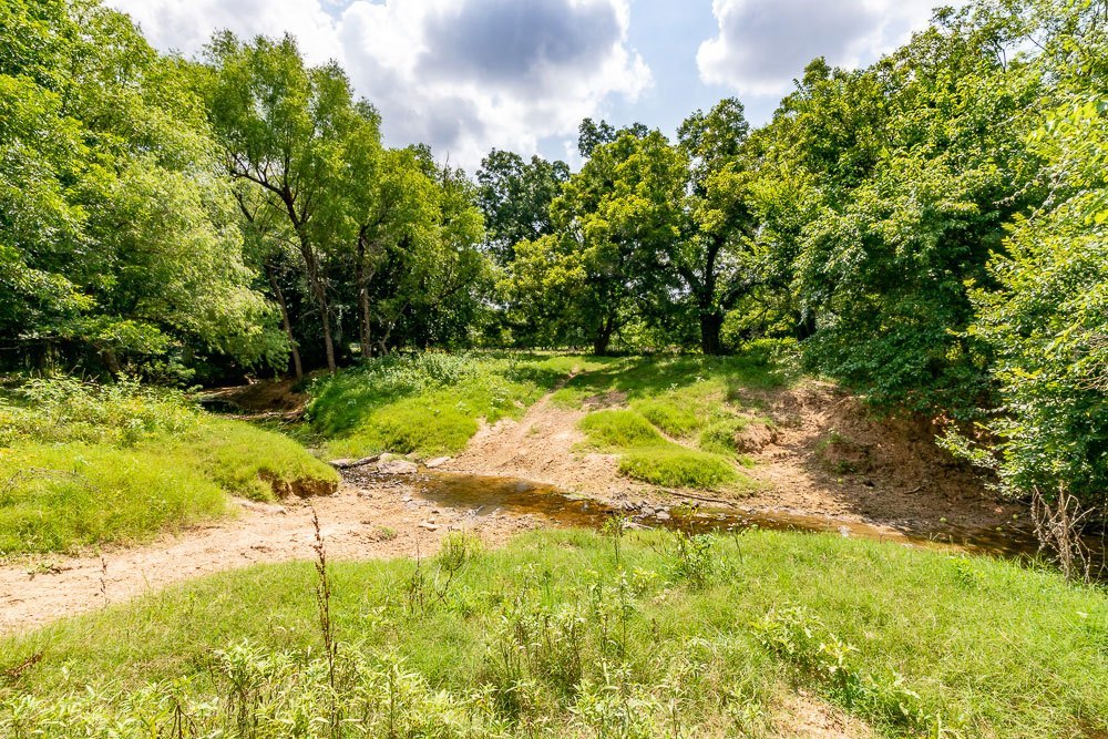
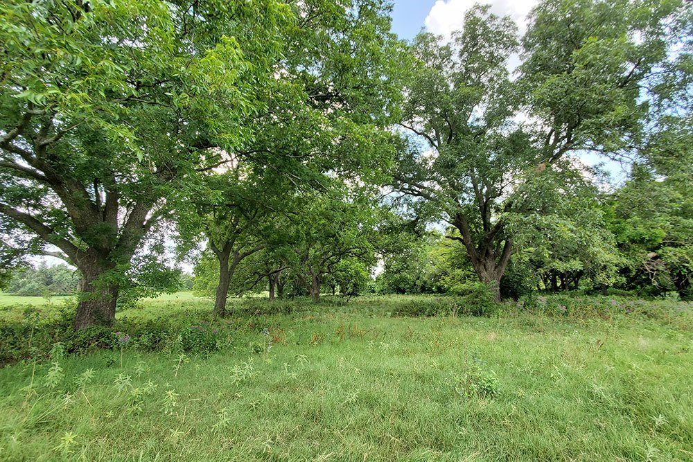
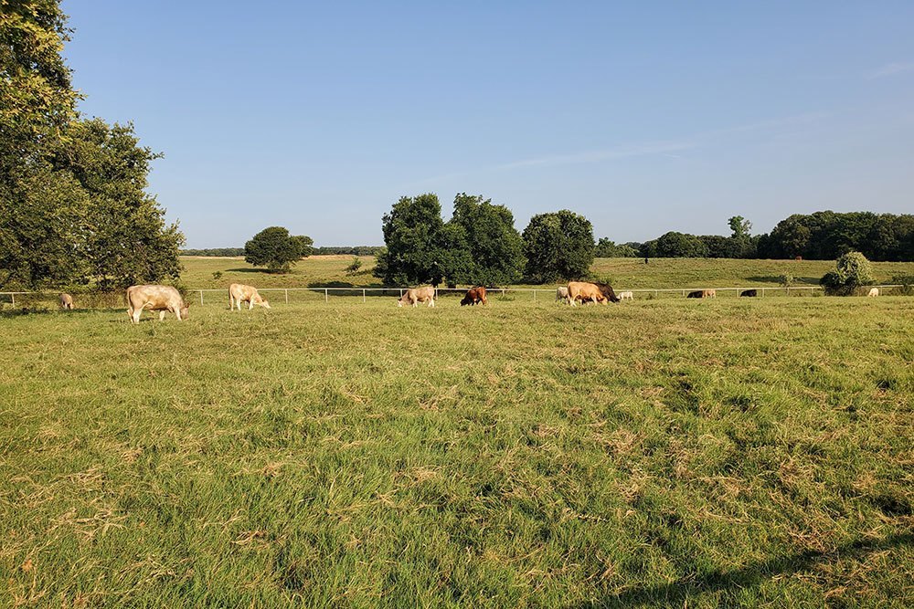
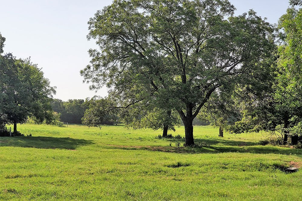
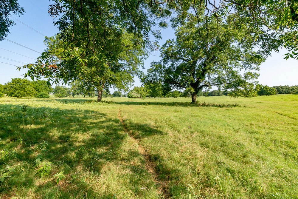
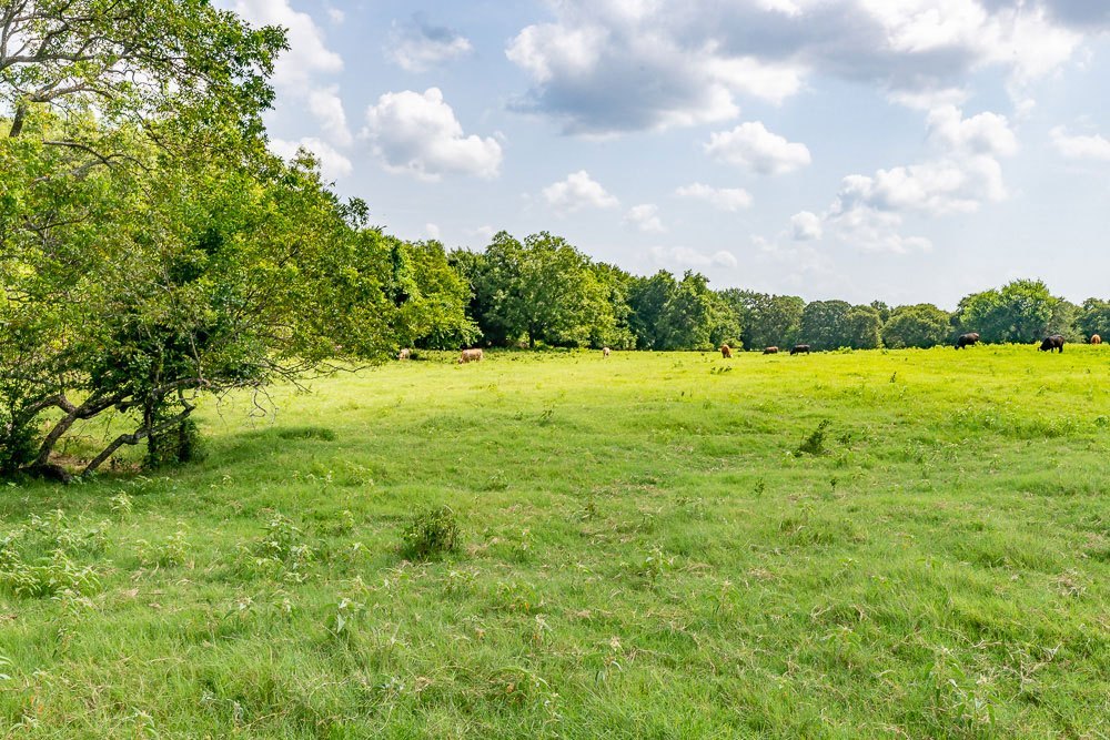
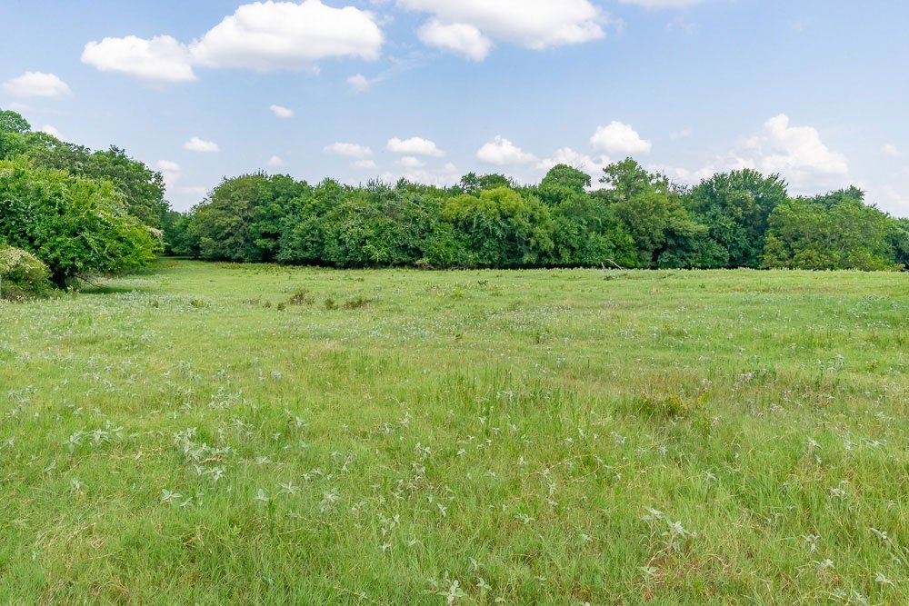
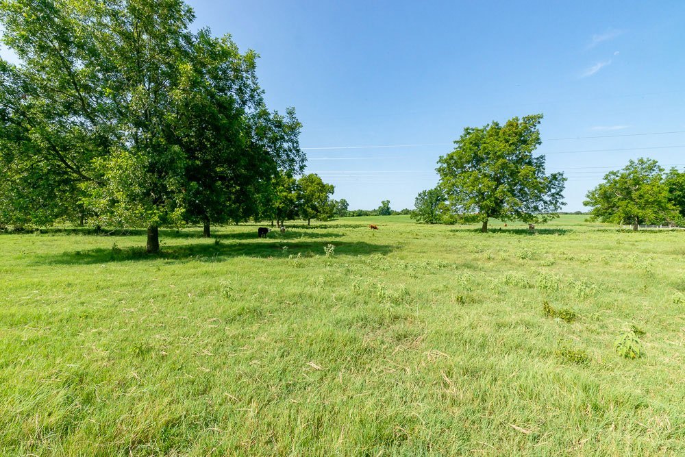
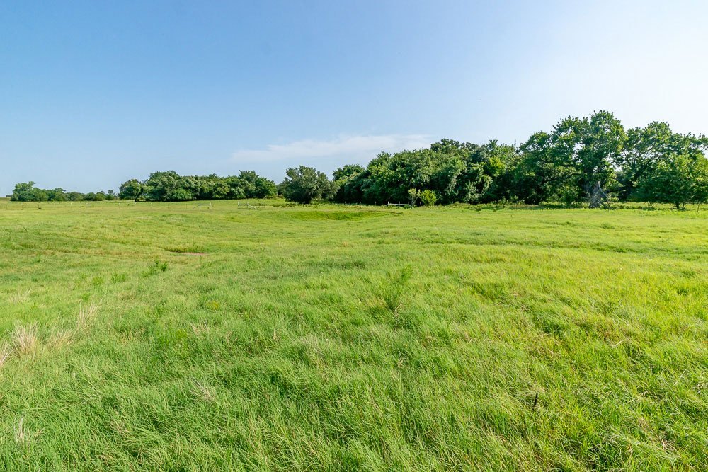
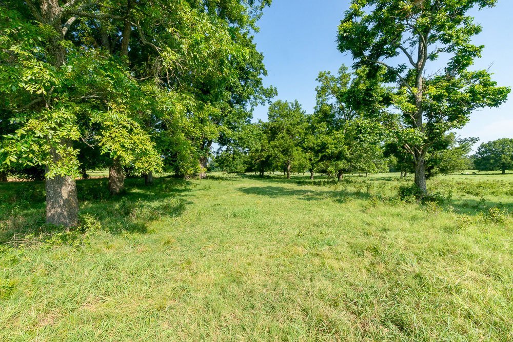
Approximately 300 to 350 acres in coastal bermuda pastures, 75+ acres in timber, and the balance in native grazing or rangeland. Huge pecan & live oak trees decorate the flourishing river bottom, as well as elm, hackberry, red oak, and post oak. Outstanding game habitat with loads of deer browse. The Santo and Bunyan soil group which is frequently flooded incorporate about 25% of the soil type.
IMPROVEMENTS:
A large all-steel and concrete floored shop with a bathroom. Another all-steel two-sided covered building with a concrete floor. Round pen, pipe cattle holding pens, large pipe paddocks with shelters.
WATER:
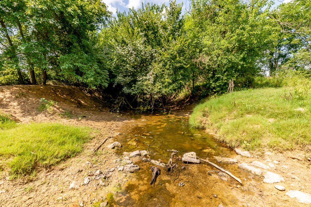
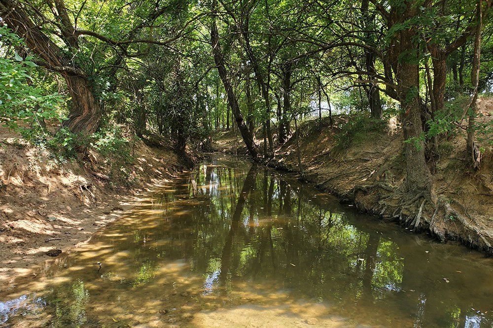
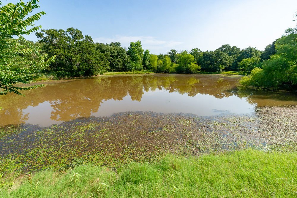
One working water well at the headquarters, one solar-powered water well (currently inoperable), and one old windmill (inoperable). The West Fork of the Trinity River traverses the property. Approximately nine earthen stock tanks.
GAME:
Deer, turkey, hogs, coyotes, and varmints.
TAXES:
$782.92 for 2021 with agricultural exemption.
MINERALS:
Seller owns most of the executive rights and minerals, subject to approximately ½ royalty outstanding.
COMMENTS:
Excellent location, very scenic land, and coastal bermuda in productive soils on the river bottom. Never commercially hunted with excellent habitat.
PRICE:
$6,000,000.00, no division or owner finance.
ALL INFORMATION CONTAINED HEREON HAS BEEN OBTAINED FROM SOURCES DEEMED RELIABLE. NO REPRESENTATION OR WARRANTIES, EITHER EXPRESSED OR IMPLIED ARE MADE AS TO ITS ACCURACY BY SAID AGENT. THIS INFORMATION IS SUBJECT TO CHANGES, WITHDRAWAL, ERROR, OMISSION, CORRECTION, OR PRIOR SALE WITHOUT NOTICE. SELLER CAN RECEIVE AND ACCEPT BACKUP CONTRACTS.
Recreational & Cattle Ranches | Photo Gallery 1 | Photo Gallery 2 | Local Map | Aerial Map | Soil Survey | Topo Map | FEMA Flood Map | PDF Brochure

